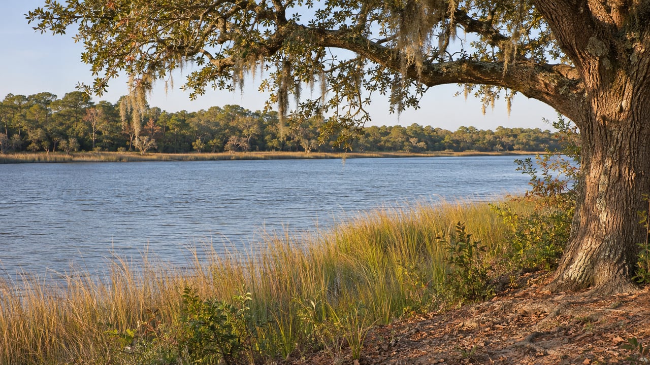
Behind the Rivertowne Country Club neighborhood off Highway 41, a large concrete dock still reaches into the Wando River. Republic Contracting once ran a river barge terminal on this land, and the Post and Courier described the property as one of the largest undeveloped riverfront properties in the East Cooper area.
On October 13, 2026, Mount Pleasant Town Council approved a settlement that sets the future of all of it. The Town will buy about 129 acres, including more than two miles of waterfront, for $28.5 million. That land will be restricted to a passive public park through a deed restriction, a conservation easement or both. The owner keeps about 56.25 acres, which will be annexed into the Town and limited to no more than 95 single-family homes.
The settlement already decides the shape of the land, with a park on the river and a small neighborhood beside it. The months between now and closing are about completing the purchase and paying for it. Here is how the tract got to this point, and where you can reach the Wando while the paperwork finishes.
A Barge Terminal That Waited Four Years for a Decision
The name comes from the business that used the site. The tract belonged to the five children of former Republic Contracting President James Deierlein, and it sits on the Wando River behind Rivertowne. Of its roughly 185 acres, nearly 105 are high ground.
The Town first tried to buy the whole property in 2022 for about $21 million, and the owners declined. In 2023 the family sued the Town and Mount Pleasant Waterworks. They said the requirement that a property annex into the Town before it can get water and sewer service had caused a potential $41 million sale to fall through. Part of the dispute went back to a 1989 merger agreement between Mount Pleasant Waterworks and the Bulls Bay Rural Community Water District.
In March 2026, Highland, a Houston-based developer, bought the tract for $37.5 million and took the family's place in the lawsuit. The company also dropped several claims that sought financial damages from the Town, according to the Post and Courier's settlement report. Seven months later, council approved the agreement unanimously, as Councilmember John Iacofano noted in his October council report.
Three Futures for the Same 185 Acres
Council's case for the deal rests on what else the land could have become. Development depended on sewer service, and the zoning rules depended on whether the tract stayed in the county or joined the Town.
| Scenario | Homes possible | Basis |
|---|---|---|
| Stays in unincorporated Charleston County with sewer service | Up to 1,600 | Up to 16 units per acre under county rules |
| Annexed under standard Town zoning | More than 300 | 3 units per acre |
| October 13, 2026 settlement | No more than 95 | Cap on the 56.25 acres Highland keeps |
"It absolutely is a win when you consider what could have been developed … if the tract had stayed in the county," Councilwoman Kathryn Whitaker said, as reported by the Post and Courier. "We really had to negotiate away from that idea of the 1,600 (homes)." In the same report, Councilman Daniel Brownstein called it a "big conservation win" that "preserves a great deal of land in the northern part of town, two-thirds of the site," and Mayor Will Haynie said the settlement was "a long time coming."
The dollar figures help explain the deal. In March, Highland paid $37.5 million for the full tract. Under the settlement, the Town pays $28.5 million for about 129 of its 185 acres, which includes the riverfront the park is built around. Highland keeps a smaller residential parcel, and the two sides will share the cost of a public access road from Highway 41 that serves both the park and the homes. Highland CEO Clark Davis told the Post and Courier that the agreement "will expand public access to the waterfront through the preservation of significant acreage for parks."
The Calendar Between the Vote and a Park
As of this week, the Town has approved the settlement but has not yet bought the land. The steps run in this order:
- October 13, 2026. Council approves the settlement. The purchase is subject to a 90-day due diligence period and other closing requirements.
- Now through the end of 2026. Mayor Pro Tem Howard Chapman told Live 5 that the Town's due diligence plan ran through the end of the year.
- As early as April 2027. The Town says closing could happen by then.
- After closing. The Town says it will share details about park planning and public access as the acquisition moves forward.
To follow the process, watch the Town of Mount Pleasant's news page, which carries the official settlement release.
How the Town Says It Will Pay
Funding became part of the conversation before the November 3 election, because Charleston County's transportation sales tax was on the ballot. ABC News 4 reported on October 16 that the Town could use existing tax revenue for the purchase, with county sales tax money as another possible source if voters approved it.
Councilmember Iacofano described the Town's own resources in a Post and Courier commentary. He wrote that Mount Pleasant dedicates one mill of property tax each year to preserving green space, which brings in about $1.5 million a year, and that the Town's strong credit ratings allow it to finance the purchase. He said Town Administrator Eric DeMoura confirmed the purchase did not require the referendum to pass. In his words, "There's a big difference between accepting financial assistance and needing it to complete the purchase."
The referendum passed. According to unofficial results reported by WCBD on November 4, Question 1 drew 63.91 percent yes votes, and the related bond question passed by a similar margin. The county's 2026 program materials set aside 16 percent of the projected $4.25 billion over 25 years, an estimated $690 million, for the Greenbelt Program. Greenbelt money is the county funding Iacofano said could lower the Town's cost.
Where to Reach the Wando While You Wait
The Republic Tract is still private land until closing. Several public places already put north Mount Pleasant residents outdoors or on the water.
- Laurel Hill County Park. Charleston County Parks describes it as a 745-acre nature park with several miles of unpaved walking and biking trails, meadows, woods and a lake overlook. Details are on the Charleston County Parks listing.
- Claude M. Blanchard Jr. Landing at Paradise Island. A public county landing on the Wando River, listed by SCDNR.
- J. Mitchell Graham Landing at Remley's Point. A public county landing on the Wando, off Mathis Ferry Road.
- Shem Creek Landing. A public county landing at the end of Mill Street, on Shem Creek rather than the Wando.
Detco Boat Landing, off Highway 41 in Cainhoy, is on the Wando too, but SCDNR lists it as private. Laurel Hill gives you trails and open land, and the county landings give you access to the river. The Republic Tract park would add more than two miles of protected Wando shoreline to the Highway 41 side of town.
If you live near Highway 41 and want to talk through what a future park and a capped 95-home neighborhood could mean for your part of town, Jennifer Crider is happy to share what she is seeing across Mount Pleasant. Let's Connect.